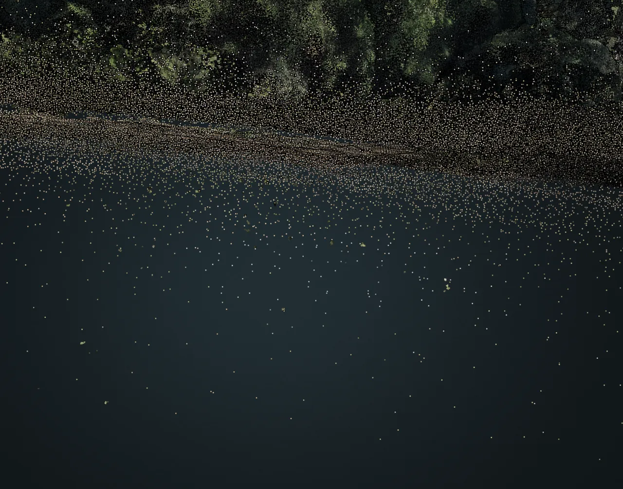
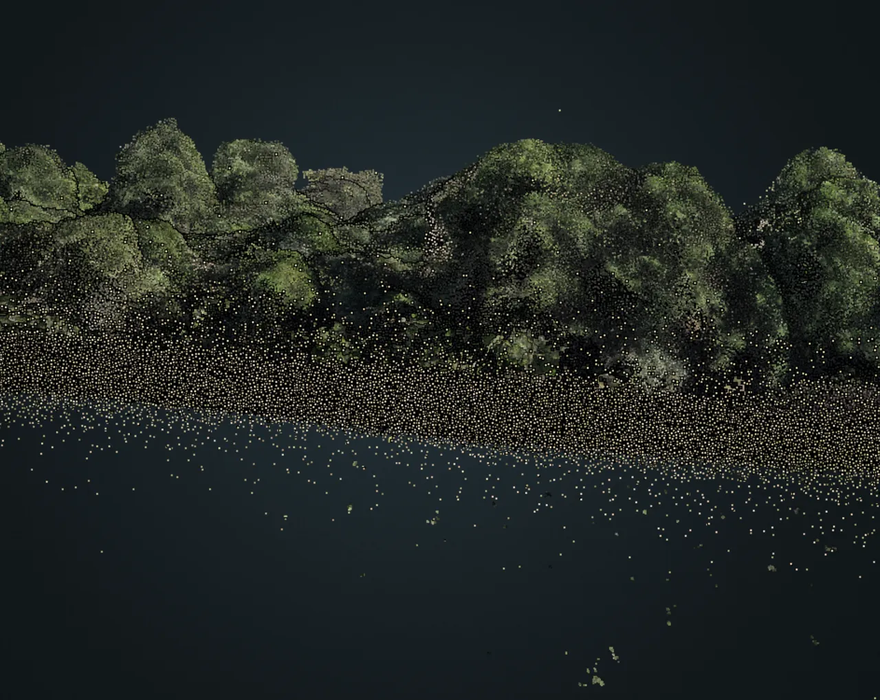
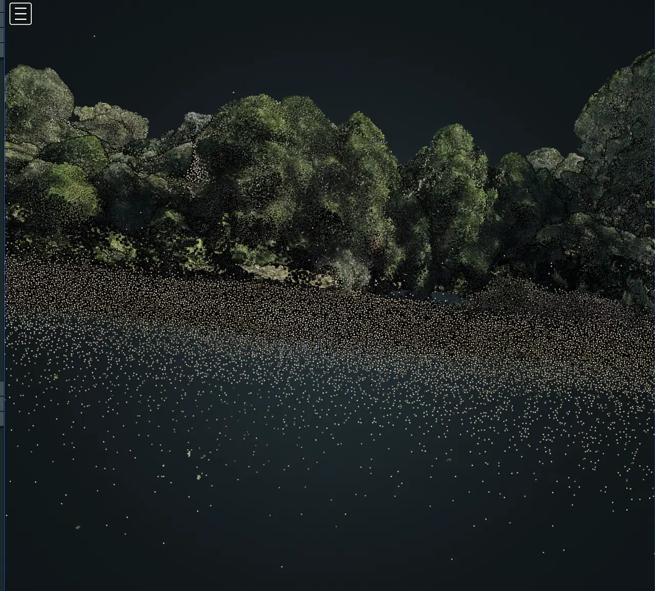
I do not know if you had this experience before, but in my processing I got some areas with two different surfaces in the same place in the point cloud.
The flight was done using nadir and oblique images (>80% overlap), I used gcp.txt and geo.txt since my drone has an RTK antenna (Mavic 3M) and the processing flags were:
auto-boundary:true, feature-quality:high, min-num-features:30000, matcher-neighbors:32, gps-accuracy:0.25, pc-quality:high, pc-filter:2, pc-sample:0.05, pc-classify:true, orthophoto-resolution:1, use-3dmesh:true
Any ideas on the why and maybe what I can do to get a more accurate result?
The whole area has vegetation (some dense, some not so much). But this one in particular not so much.