WebODM
The free and open source drone mapping software.
Generate maps, point clouds, DEMs and 3D models from aerial images. Runs on your computer, even offline.
Everything You Need
To get started with drone mapping, minus the price tag.
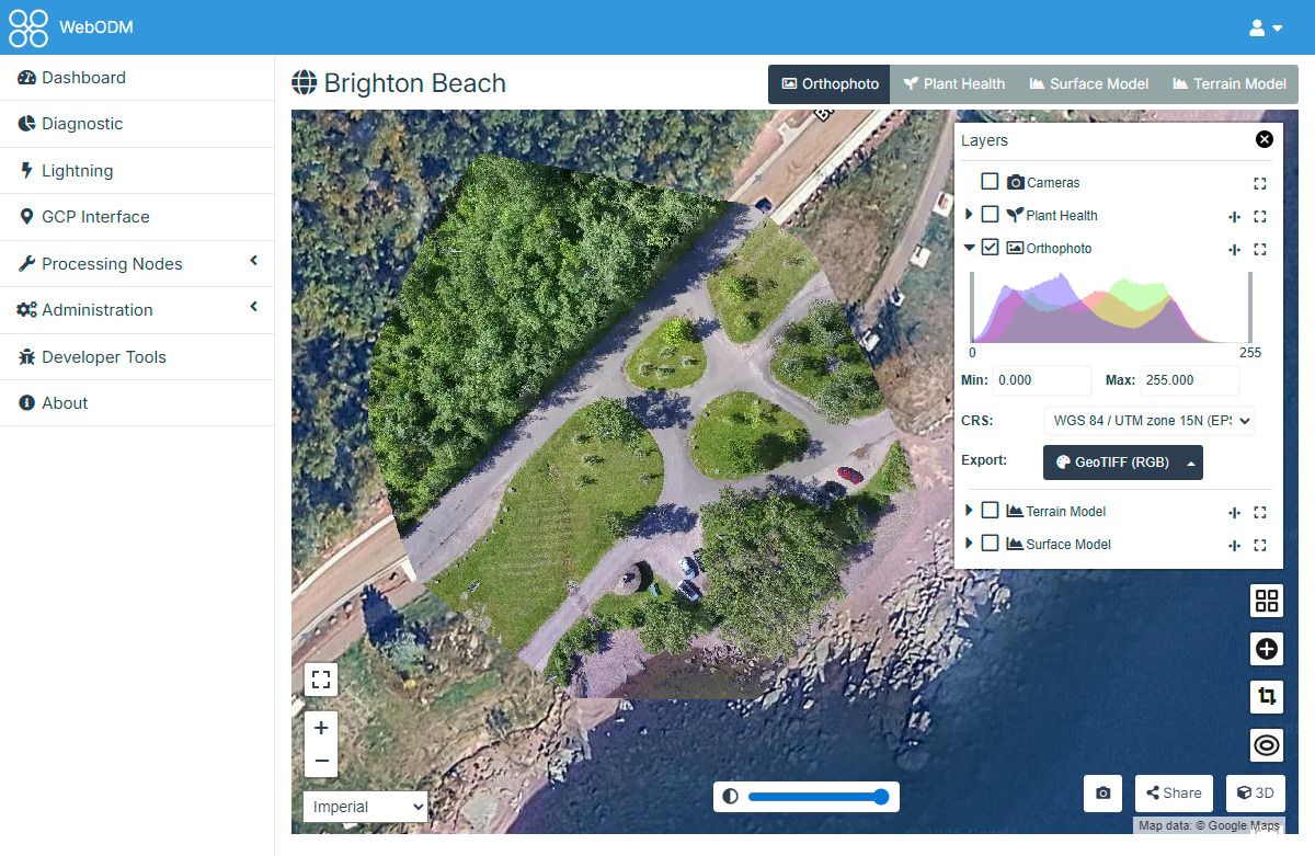
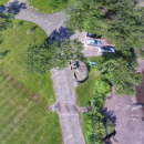
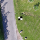
Orthomosaics
Georeferenced, orthorectified maps.
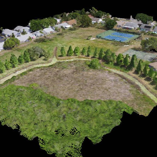
Point Clouds
Georeferenced, filtered and classified dense point clouds.
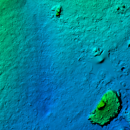
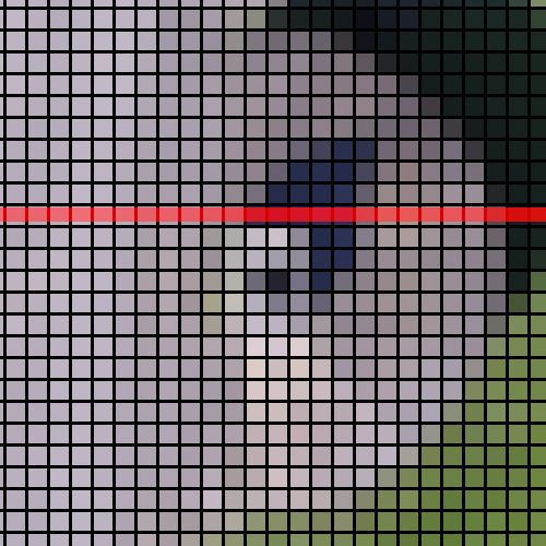
Elevation Models
Georeferenced digital elevation models (DSMs and DTMs).
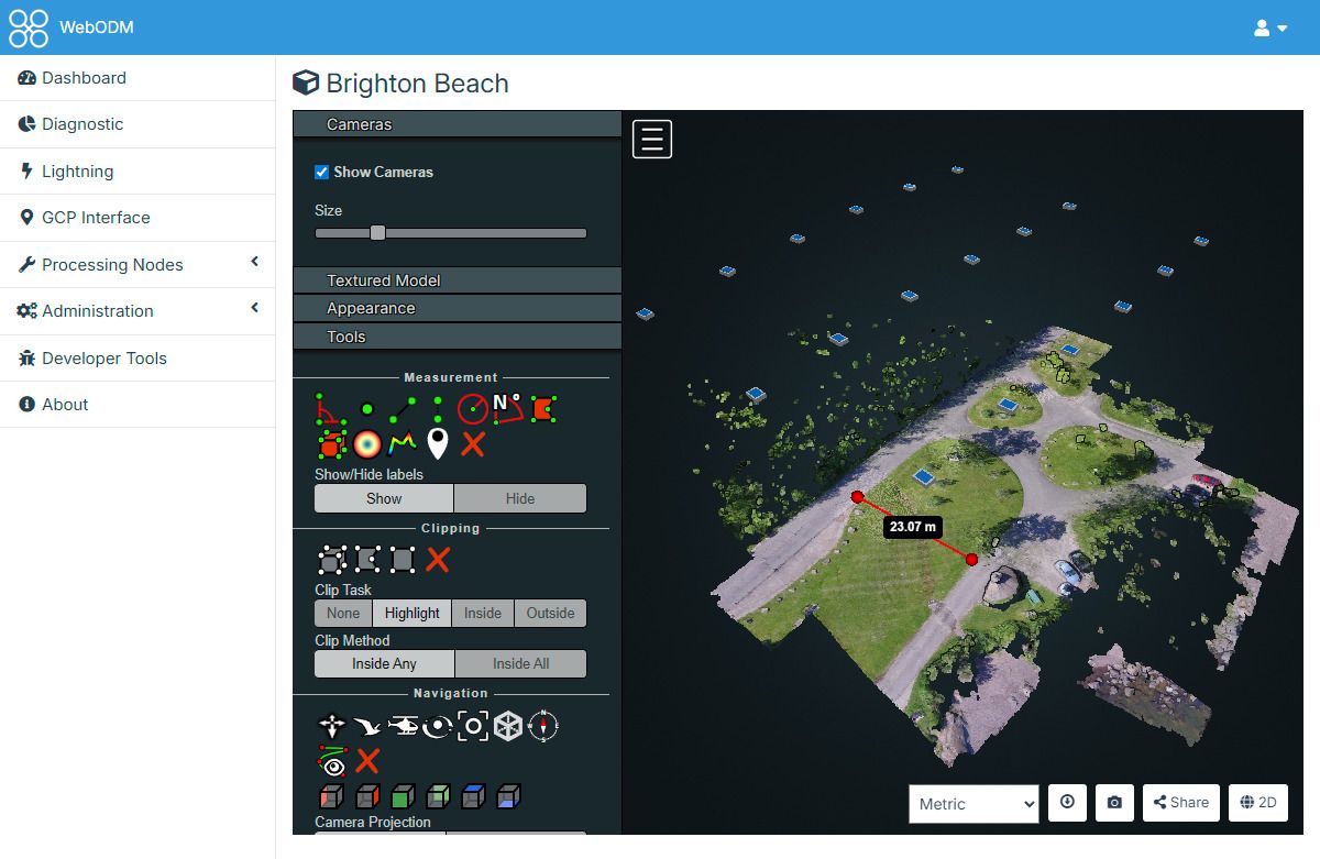
3D Models
Textured 3D models in .OBJ and OGC 3D Tiles format.
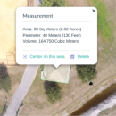
Measurements
Make volume and area measurements with ease, track stockpiles.
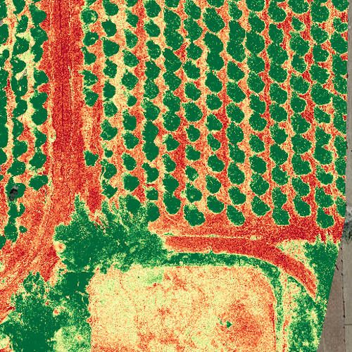
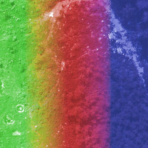
Plant Health
Easily compute NDVI, VARI, GNDVI and many other indexes.
Ground Control Points
Create and use GCPs for additional accuracy.
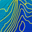
Contours
Preview and export elevation contours to AutoCAD, ShapeFile, GeoPackage.
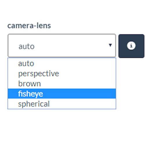
Any Camera
From consumer phones to professional cameras (standard, fisheye, 360°).
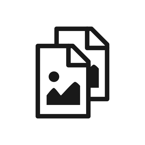
Any Format
JPGs and TIFFs (8bit and 16bit), with or without EXIFs.
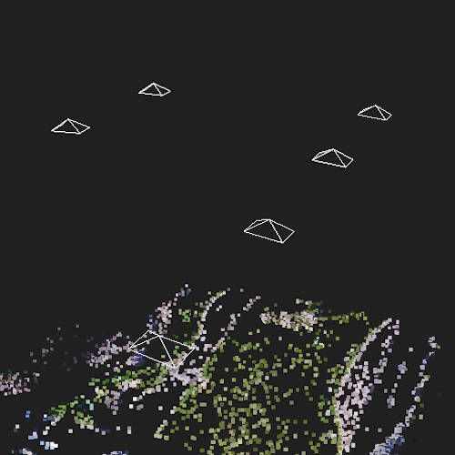
Any Orientation
Process aerial and ground images, captured nadir or oblique.
Multispectral
Process multispectral images.
Rolling Shutter
Correction support.
Share
Easily share your maps and 3D models.
Rebrand
Choose a logo and color scheme that matches your organization.
Scale
Run multiple jobs in parallel and single jobs distributed on multiple machines.
Export
High resolution GeoTIFF, PNG, LAS/LAZ, OBJ and OGC 3D Tiles formats.
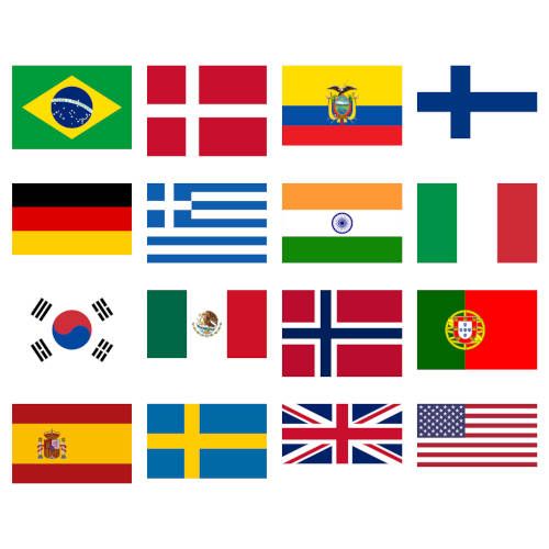
Multi Language
Available in 16+ languages.
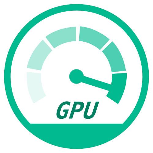
GPU Acceleration
Process datasets faster with CUDA.
Free
You just can't beat the price.
Join the Community
Whether you contribute code, improve translations, write documentation or simply share your maps, your voice matters. Come build with us.
Get InvolvedMeet the WebODM Ecosystem
Pick and choose the parts you need for processing aerial data at any scale.
ODX
Photogrammetry engine to generate maps, point clouds, 3D models and DEMs from aerial and ground images. Forked from and faster than ODM.
Go To ProjectNodeODX
REST API to access photogrammetry engines like ODX, MicMac and LGT. It also provides a minimal web interface to access its functions.
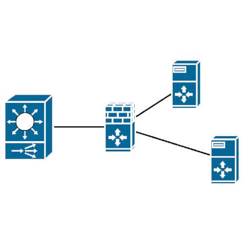
Go To ProjectClusterODX
A NodeODX API compatible reverse proxy, load balancer and task tracker for easy horizontal scaling.
Go To ProjectOATS
An intuitive set of tools and scripts to test and analyze datasets processed with ODX.
Go To ProjectCameraLib
A Python library to perform forward and backward projection of 2D coordinates in camera space to geographic coordinates.
Go To Project