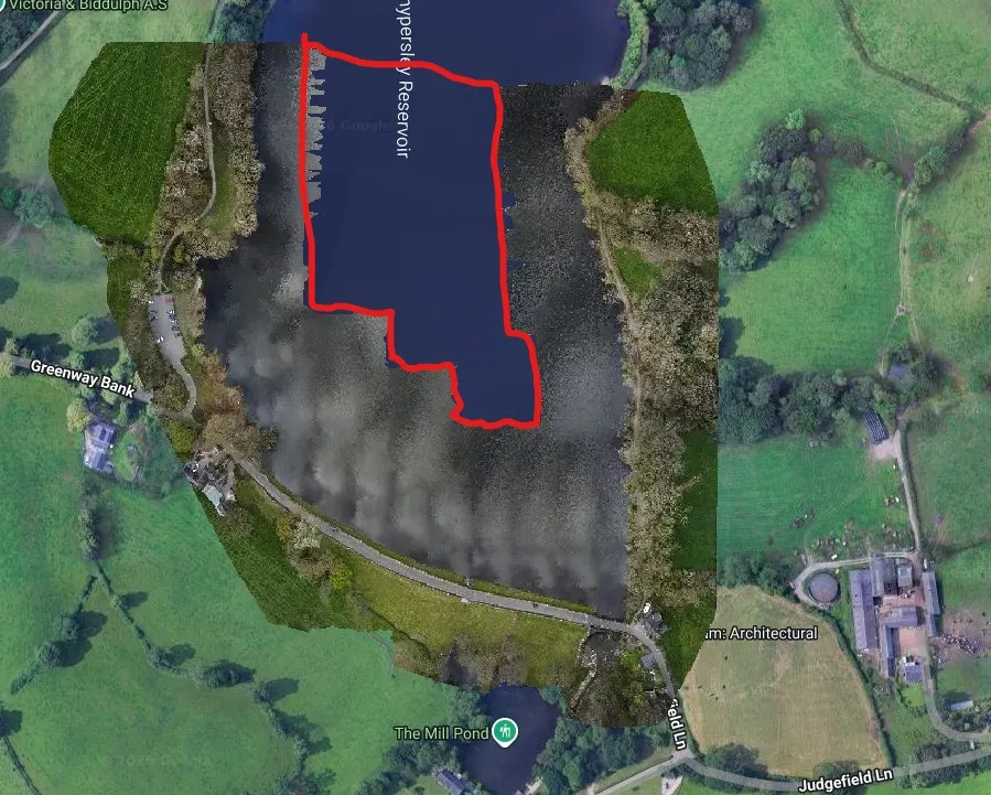
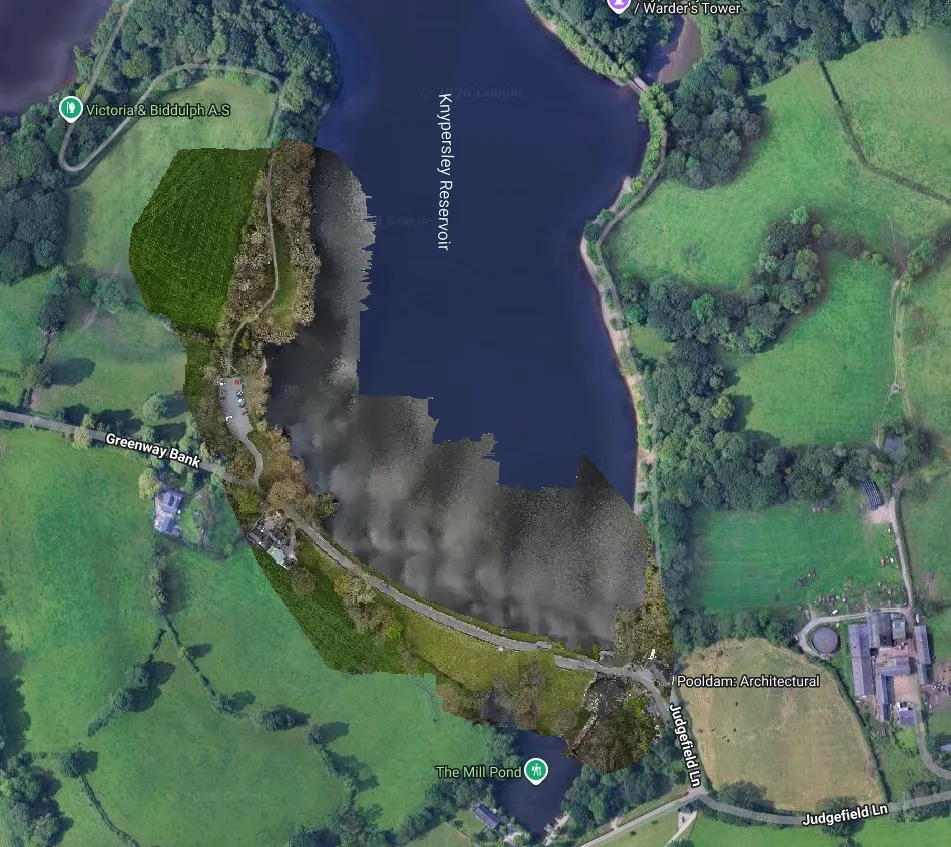
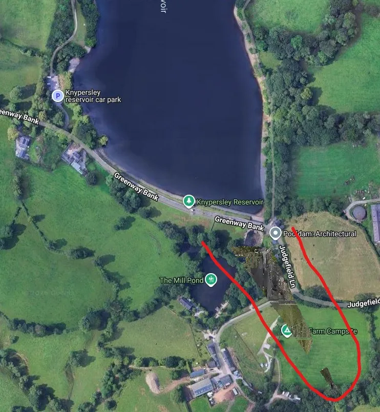
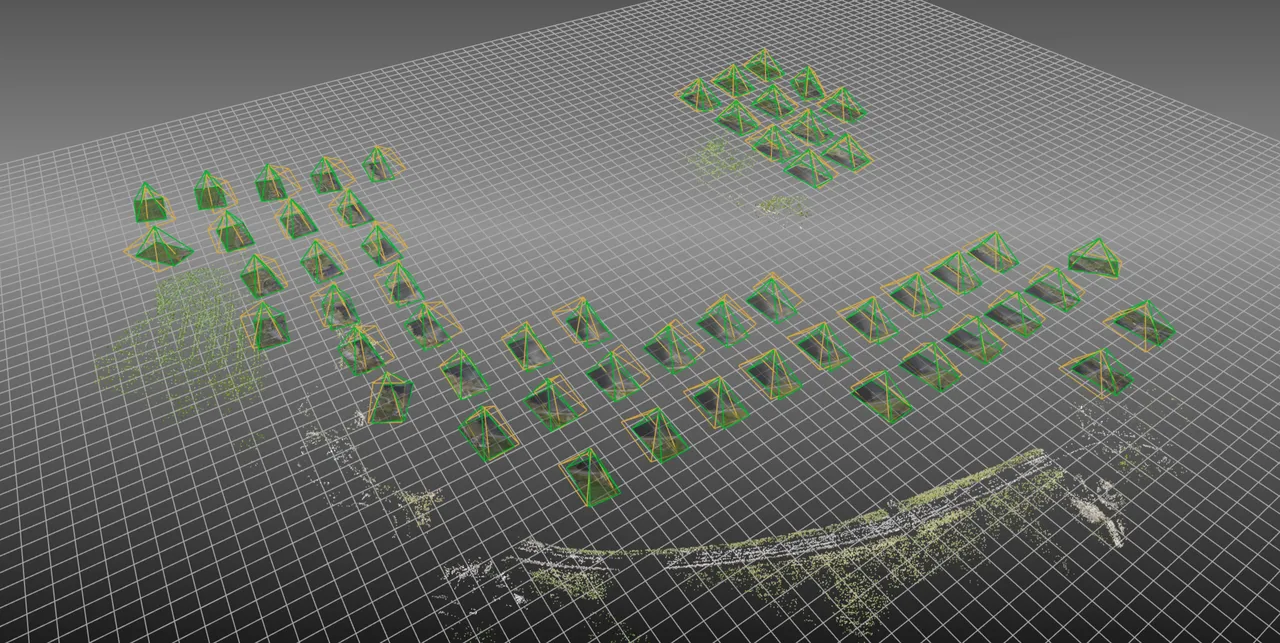
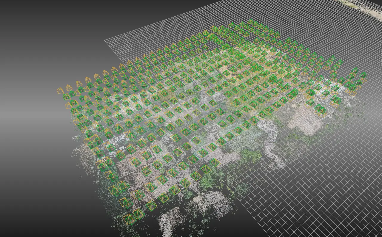
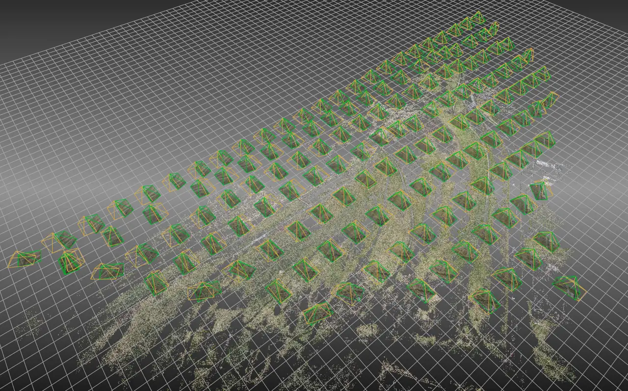
Any suggestions on how I might overcome the missing area outlined in red.
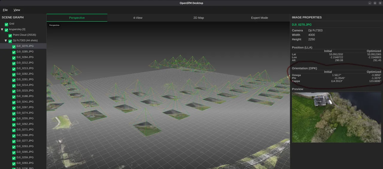
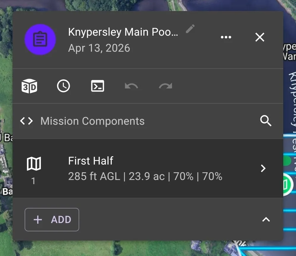
Mission was captured as a standard West to East flight at 285ft AGL, at max speed of 20MPH, and all Nadir shots.
Processing was done just using the basic Default with no-gps.
And yes I know I'm pushing my luck with so much water🤣