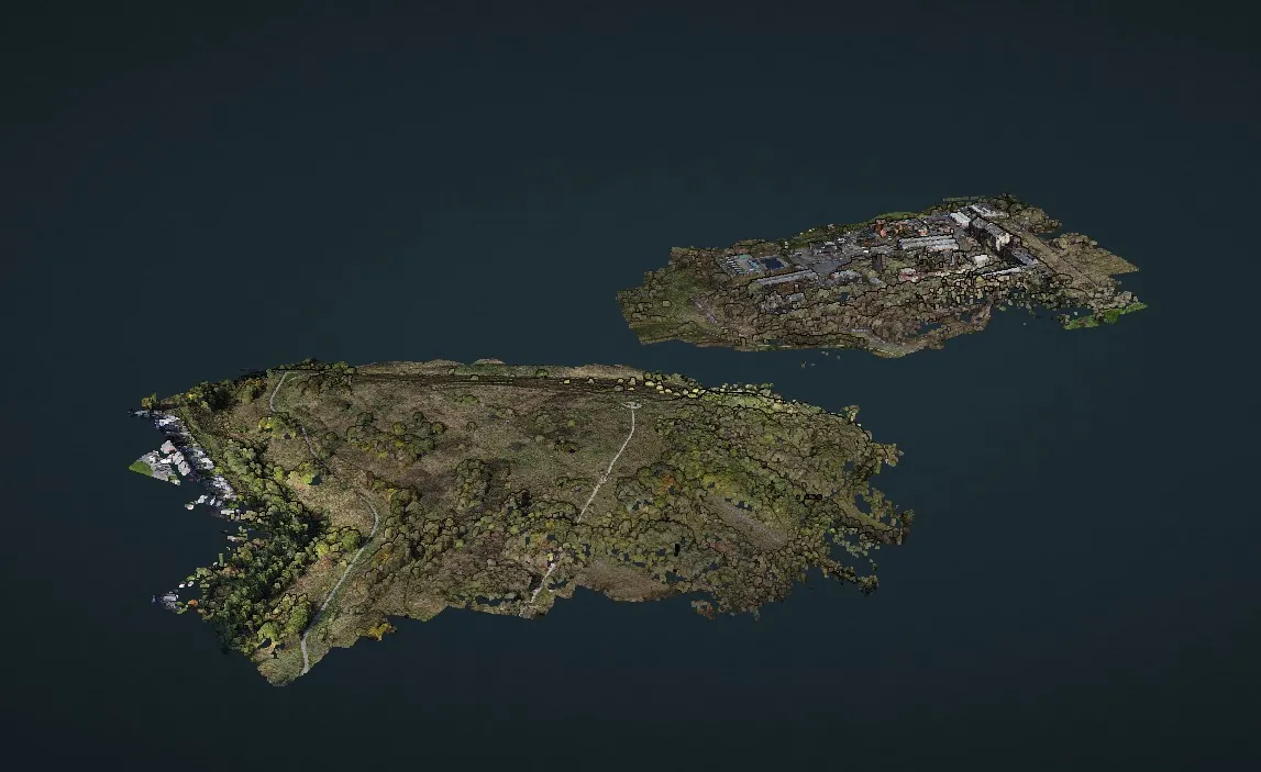
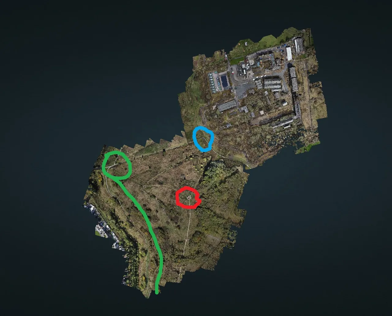
Ok for this i copied the data sets of 3 projects into 1 data set with the idea being to combine them all into 1 model, however as can be seen from the attached screenshots the area with the buildings on is suspended above the rest of the model.
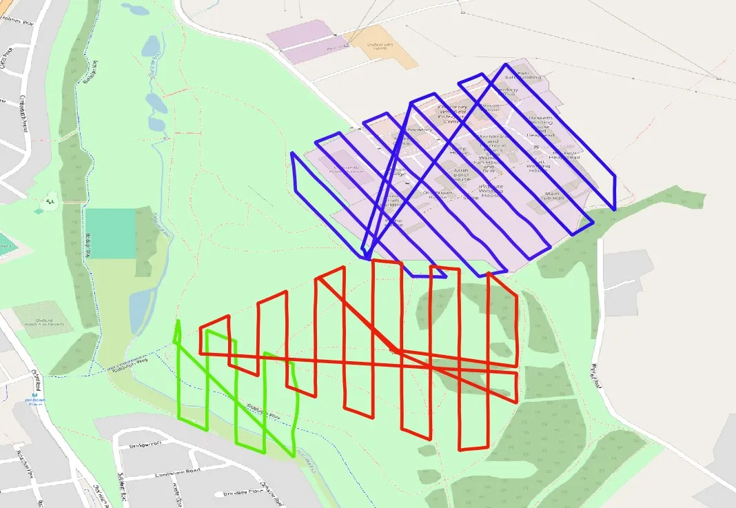
I wondered if it might be due to different launch positions but this obviously isn't the case as the red and green areas are launched from totally different positions and heights.
Looking at the screenshot of the flight paths plotted in QGIS could it be due to insufficient overlap between the red and blue areas
As ever, grateful for any thoughts