Drone: DJI Mini 2
App: Dronelink
Method: Map
Altitude: 50m (ATL)
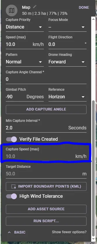
Speed: 15km/hr
Shutter: 3s interval (Electronic Shutter)
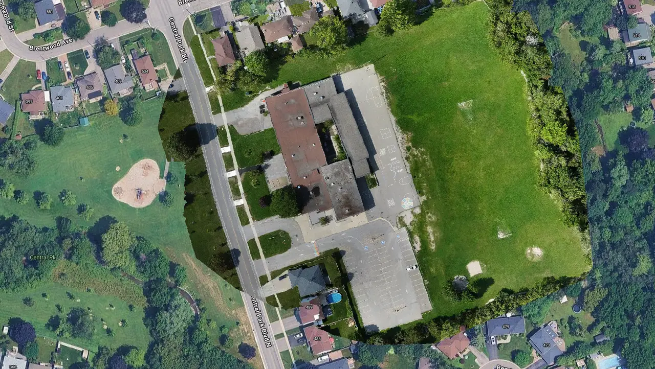
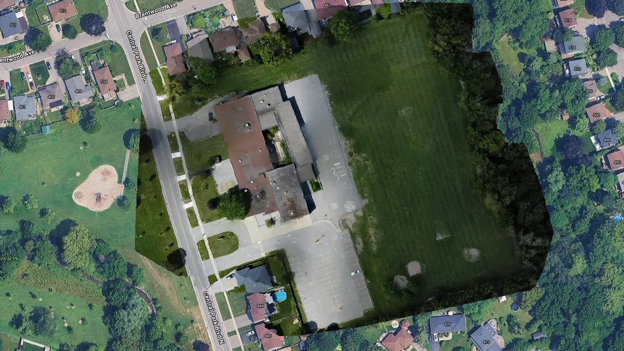
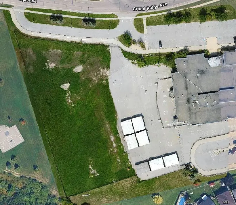
I am assuming that the map distortion is due to the electronic shutter at high altitude using 12MP camera while in motion caused the 'jello' effect of my orthophoto to be slightly distorted. I got this drone roughly 3 years ago and just got back into doing GIS stuff (no survey); can't afford a better drone yet. Other insight is welcome.
Bonus Story: After completion of this mission the DJI Mini 2 had to use evasive maneuvers (manually controlling to return to point) due to 2 bogeys (Falcons) in the air were chasing it. DJI MINI 2 survived the incident.
Edit: just had a brainstorm idea. I think i'll test next run with a stop picture motion.