So i have been wrangling with this for over 3 weeks and i think i am finally at the stage where i need some professional opinion.
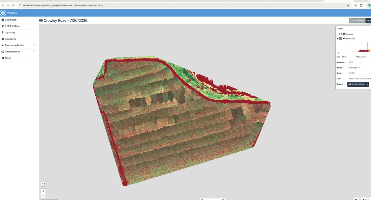
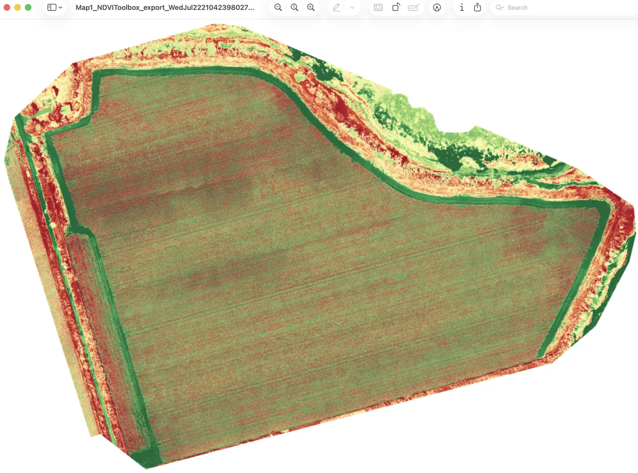
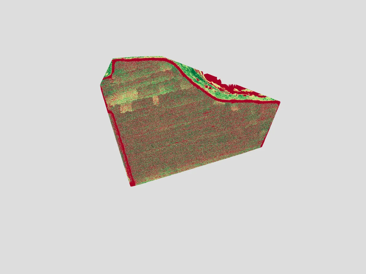
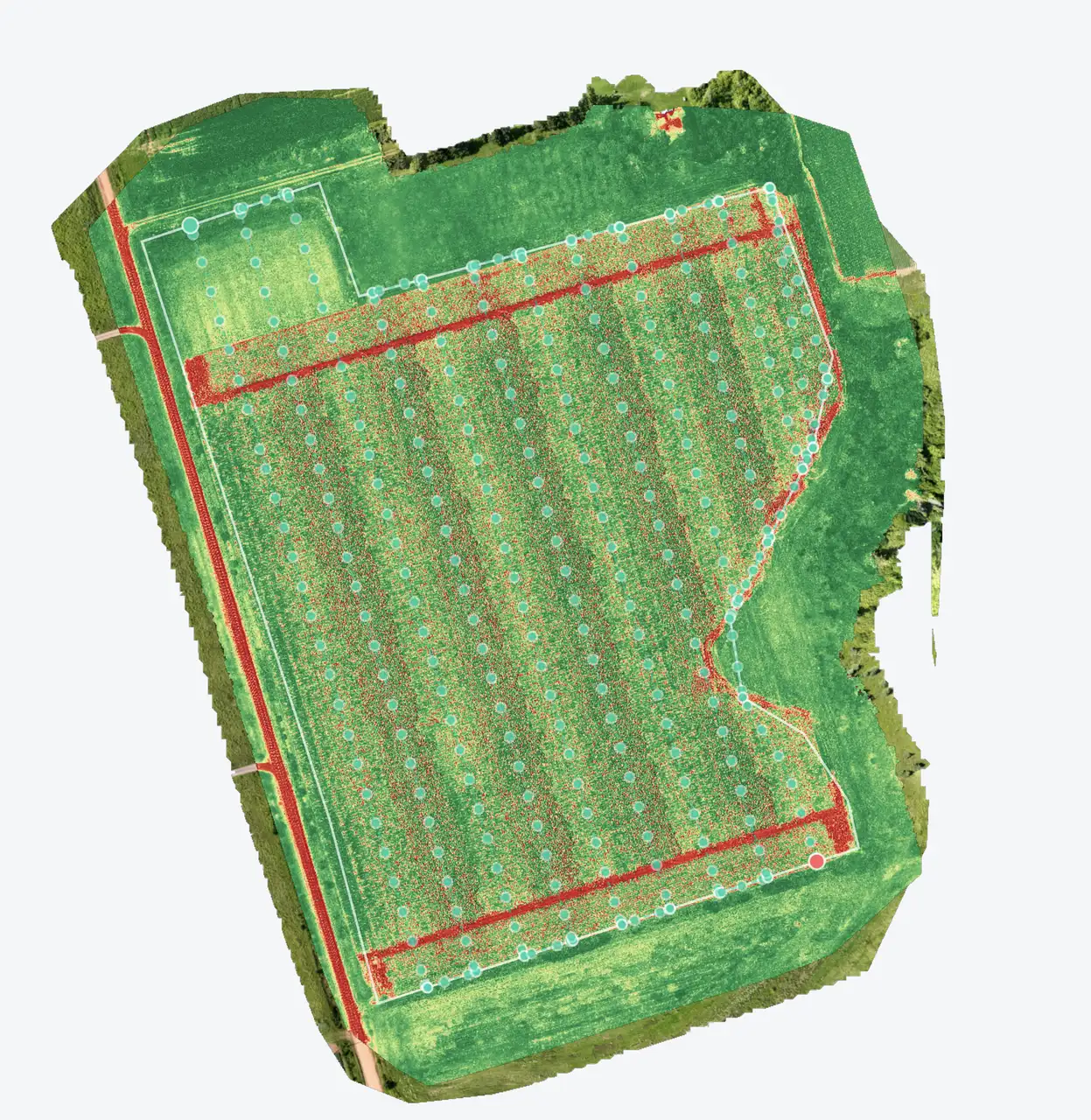
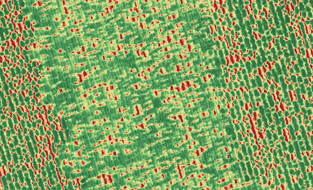
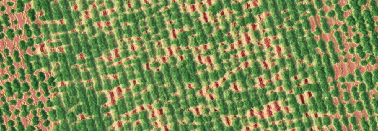
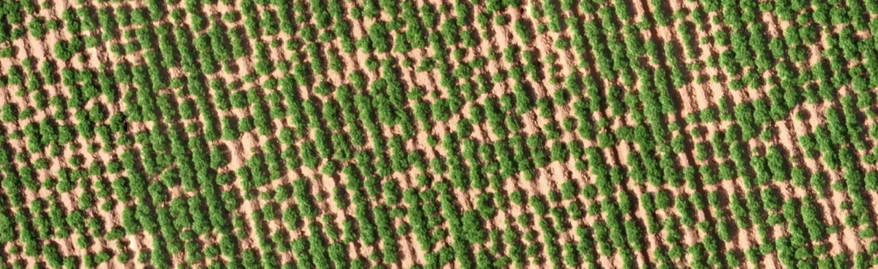
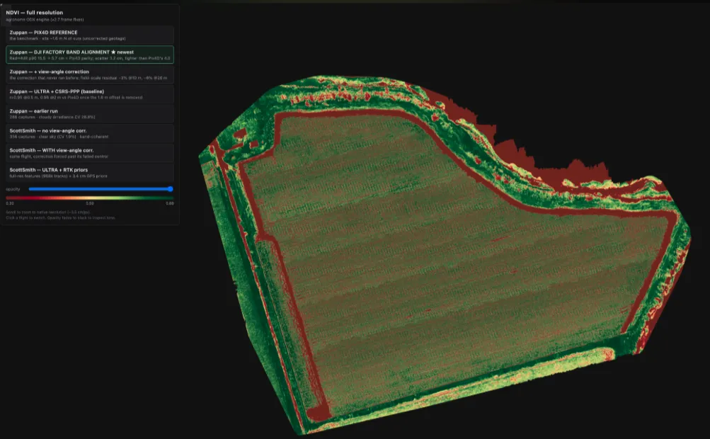
Attached our two NDVI indices generated .. one from WebODM and the second one from Pix4D of the exact same files but completely different results.
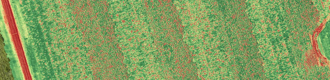
On my flight i see banding that follow flight pattern vs pix4d its evenly structured across... Its more visible when there is low canopy... in a denser canopy its hard to notice but i have noticed in old images that it still comes up.
Dataset: https://drive.google.com/drive/folders/1d0-UyHzgCIfhYu7OLHIl1PIcAm6wdD6n?usp=sharing
Flight & data
- DJI Mavic 3 Multispectral — 20 MP RGB + 4×5 MP MS bands (G 560 / R 650 / RE 730 / NIR 860 nm, 2592×1944)
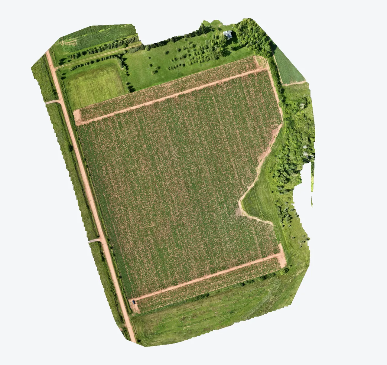
- 286 capture stations = 1,430 images over a ~20 ha row-crop field 280 ft / ~85 m AGL, native GSD 3.63 cm/px
- Flown 2026-07-20 14:11 local, partly cloudy — irradiance shifted mid-flight (visible in the DLS values)
- PPK-corrected geotags (RINEX obs/nav logged),
--gps-accuracy 0.159 - ODX latest version
--orthophoto-resolution 2 --feature-quality high --dem-resolution 2 --dsm --dtm --pc-quality medium --sfm-algorithm incremental --skip-3dmodel --skip-report --no-gpu --use-exif --gps-accuracy 0.159 --auto-boundary --radiometric-calibration camera --min-num-features 16000 --matcher-neighbors 16 --max-concurrency 12