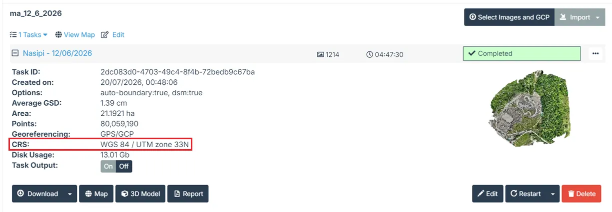
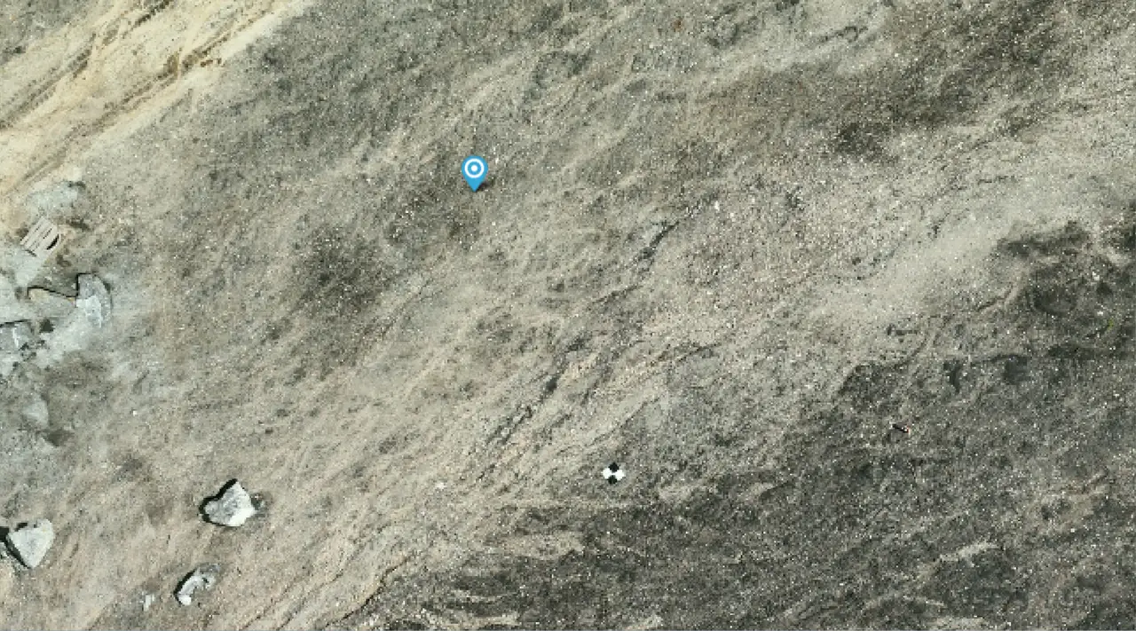
I am trying to figure out why GCPs are off by 10+ meters on my project.
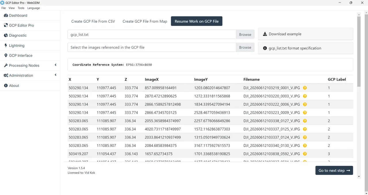
The GCPs were collected with Emlid equipment in EPSG:3794 (Slovenia 1996 / Slovene National Grid
) coordinate system with SVS2010 vertical datum.
In GCP Editor Pro I entered "EPSG:3794+8690" as coordinate reference system.
In the report I see that GPS values are way off which might be the root cause of the problem. Is there an option in WebODM to ignore GPS in and rely solely on GCPs?
Please see the attachments.

gcp.csv, gcp_list.txt
— view on Discord