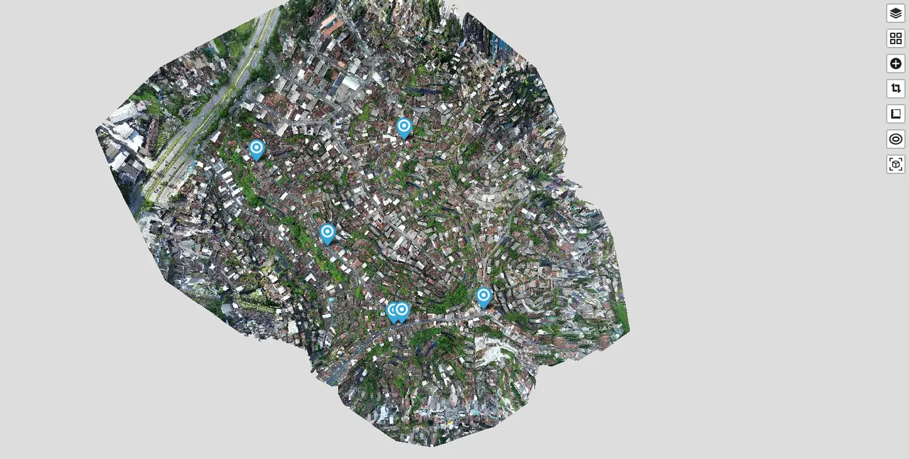
I recently mapped an area for testing purposes containing 10 GCPs (Ground Control Points), marked all those visible in the photos, and sent them for processing, as shown in the screenshot containing the parameters used in the task. However, when I check the results, I see that it only used 6 of the GCPs I had marked. I've already checked the gcp_list.txt file and there are no spacing problems or columns with incorrect information. Is there a limit to how many photos I can mark using GCPs? Even the processing report doesn't show those GCPs.
I used the GCPs named HV01, HV02, HV03, ..., HV10 for this area, but in the report, just like in the map, only GCPs HV01, HV02, HV03, HV04, HV05, and HV08 appear.
To facilitate the identification of the problem or any potential bug, I have attached the console output, a screenshot containing the parameters used in the processing, a screenshot containing the orthophoto visualization of the area, a PDF of the report (which was compressed only to be able to send it here on Discord, due to the 10MB limit, therefore the images contained in the report should be of low quality), and the gcp_list.txt file used in the processing.