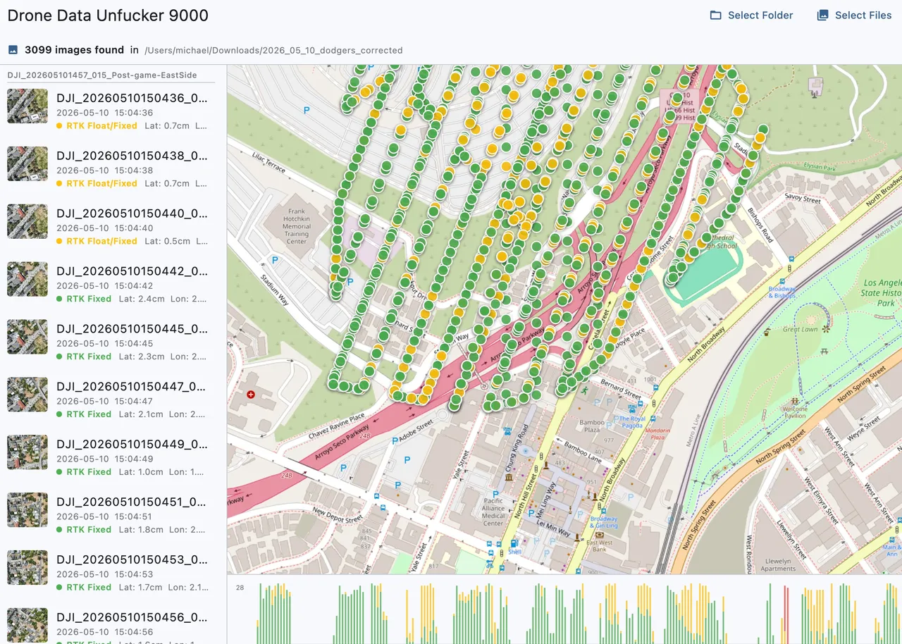
Is there any good software for selecting a bunch of images and putting them into buckets based on time, gps precision, location etc?
Looking for ways to reject/exclude images in certain parts of a map, while also separating out two different flights from a single larger bucket of data