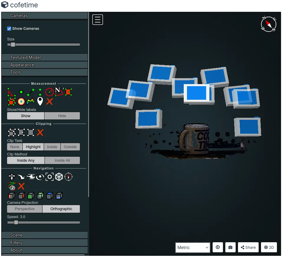
Hi. I just set webodm up!
I tested it with a bunch of test photos with my DSLR. There's no gyro, orientation sensor or GPS in it.
When I create the point cloud to view it in the webodm interface 3d viewer, the up axis is wrong. it thinks the "back to front" axis is elevation axis, therefore creating challenges when trying to use the orbit view.
is there a way to tell the viewer (or the dataset, sorry i'm so new at this i don't know the terms and inner workings) "hey, this is up, this is forward"?