Aligning Multispectral to Lidar

ImaPlayfair

Is the align option/flag available? I am not finding it in the GUI options. If it is not available via the GUI, but is available otherwise, how would I activate it? I am pretty new to docker and/or python, which seem to be the command line interfaces for WebODM. My coding experience is in R.

I am trying to use precisely georeferenced lidar datasets (.las) to align and build a high accuracy multispectral orthomosaic to pair DSM/DTMs developed from the lidar data.

Thanks!

8 Replies

pierotofy Best answer

No option, you should be able to just upload your .las or .laz along with the images. Just name it align.las or align.laz and the software will try to align the result to it

🔥 1
ImaPlayfair OP

Excellent! I did think to try that, and I was running one when I posed this question, but I was unsure if it would work since the only documentation I had seen for that method was in the OpenDroneMap documentation.

Is there a way to do it without having to rename, and in the process, duplicate, the .las file?

pierotofy

Currently not

ImaPlayfair OP

Maybe in the future 🙂
In the meantime, if the result is what it seems to be and lines up the way I'm expecting, your software will have accomplished for me what 3 other big names have failed to do, so THANK YOU!

💛 2
gm2gabriel

Ima, does you dataset have georeferencing? (Photos coordinates or GCP)?
I had opened another topic about align

ImaPlayfair OP

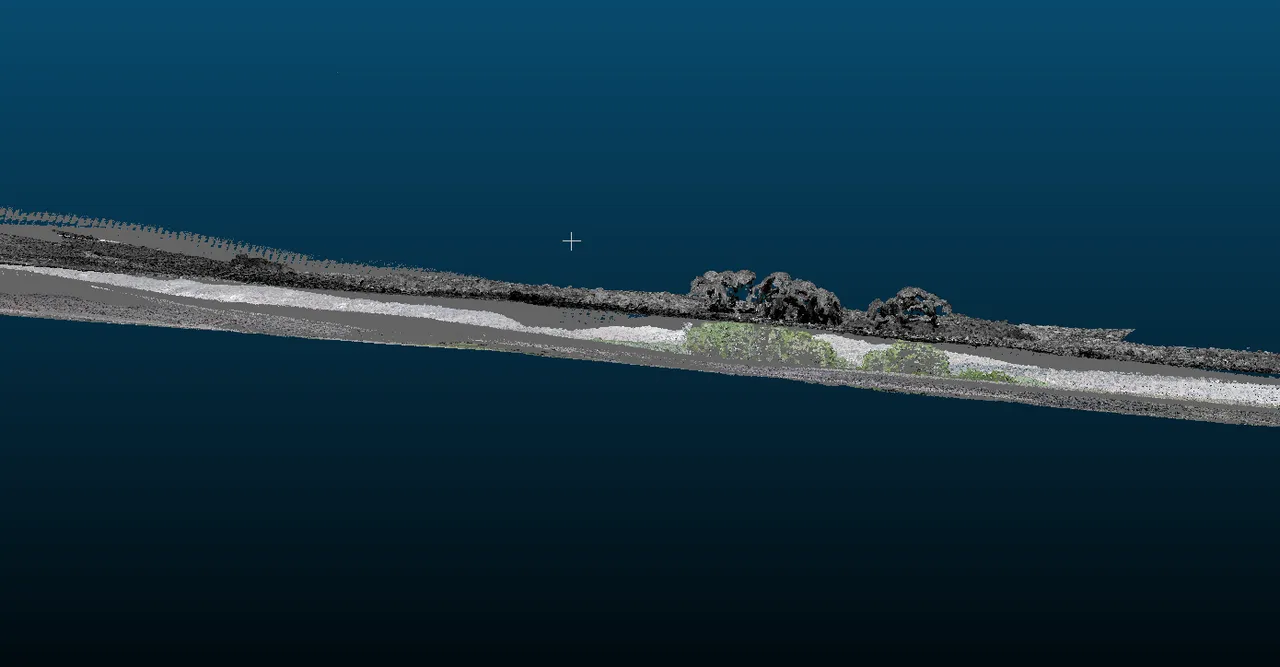
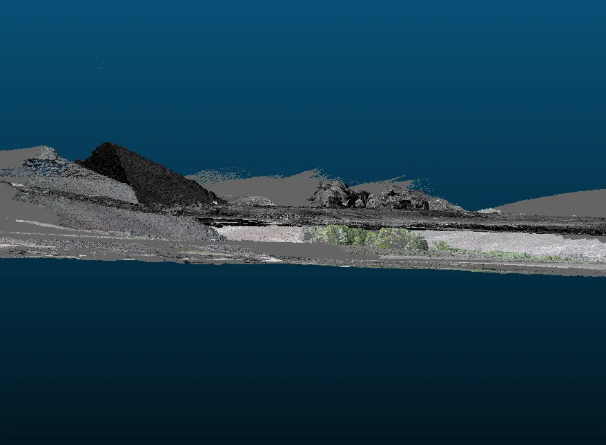
Following up: this alignment seems to work and I've been pretty happy with the results, but I've seen a couple instances, including my most recent process, where the alignment seems to be correct, but there is a Z-shift between the two point clouds. In this case, the lower colorized cloud is the lidar 'alignment' cloud and the higher one is the point cloud developed with SfM from multipspectral imagery.
Is this shift related to the CRS issues you mentioned previously in another thread, or is it something different?

ImaPlayfair OP

This dataset does not have any ground control, but the photos and the lidar are both georeferenced. My lidar clouds are much more precise and have been PPK corrected. PPK corrections are not possible on this particular multispectral sensor because it is older and doesn't log the GNSS info throughout the flight to PPK correct.

gm2gabriel

Ok. You do have coordinates for the photos, however I assume it is using NAV GNSS and with poor time sync.
I am trying to align a dataset that doesn't have any georeferrencing, no gcp and no coordinates.
I will share results latter, in the other topic.

Need more help?

This discussion happened in the WebODM community Discord. Join and ask your own question.

Join View Original Thread

This page mirrors a public discussion from the WebODM Discord. How to request a removal.