Hi,
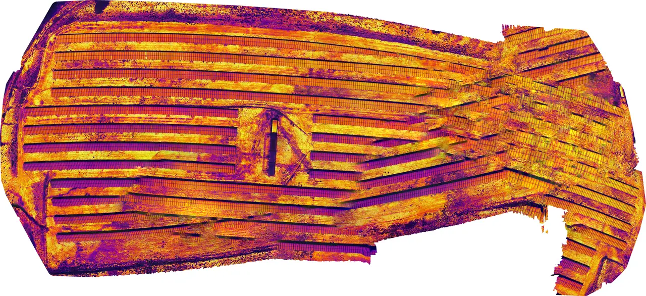
I'm getting this orthomosaic after tryed to do it with "high resolution" settings: '1'
the 3d picture is like a dome.
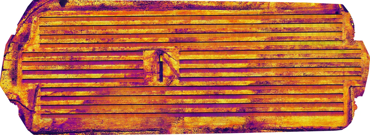
on previous versions of webodm with the same data i've got perfect orthomosaics. '2'
Hi,
I'm getting this orthomosaic after tryed to do it with "high resolution" settings: '1'
the 3d picture is like a dome.
on previous versions of webodm with the same data i've got perfect orthomosaics. '2'

Did you try the default settings? Can you share the dataset images?
Yes, I could.
Can I give you a link do google drive?
Just to check. On the previous versions of WebODM, before the split, I’ve created that perfect orthomosaic, now with same data the result is that globe shaped image.
Options: auto-boundary:true, dsm:true
Average GSD: 5.8 cm
Area: 1.3016 ha
Points: 21,773,615
Georeferencing: GPS
CRS: WGS 84 / UTM zone 29N
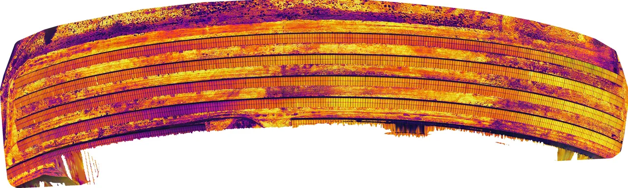
Tryed with default settings
Also, this data was taken with DJI Mavic 2 Enterprise Advanced and the thermal pictures are rJPEG. I've tryed also to create a orthomosaic with radiometric options and got the same globe aspect
is the thermal sensor a fisheye sensor? wonder if you get better results with --camera-lens fisheye
The data was taken with the thermal sensor, I dont think DJI M2EA as fisheye sensor
@pierotofy i was wrong, i've tryed with fisheye and it came great. thanks a lot
Now I will try your thermal radiometric
since this is a M2EA drone, should i first use the thermal tools right?
then in the radiometric menu, should I uncheck something or just hit forware to process?
Thermal tools first, then don't check radiometric-calibration, just process, nothing to check
This discussion happened in the WebODM community Discord. Join and ask your own question.
Join View Original ThreadThis page mirrors a public discussion from the WebODM Discord. How to request a removal.