WebODM Logo
  • Download
  • Datasets
  • Gallery
  • Docs
  • Community
  • Swag
  • Code

Gallery

Featured screenshots from the community
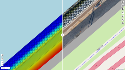
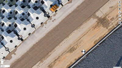
Monitoring new concrete protection blocks (Ortho / DSM comparison)
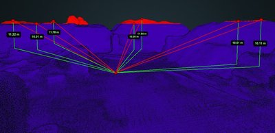
Monitoring amount of sand above a specific (permitted) height
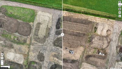
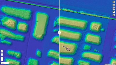
Monitoring sand depot / volume calculation / change over time with slider functionality
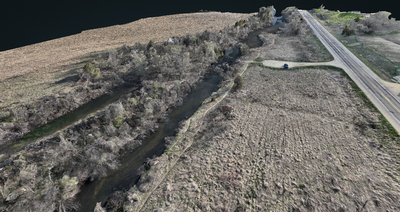
Kinnickinnic River
Kinnickinnic River
Monitoring new concrete protection blocks (Orthophoto)
Monitoring sand depot / volume calculation / change over time with slider functionality (DSM)
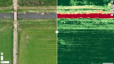
Monitoring “Buffer Strips” around waterways
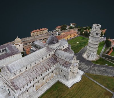
Leaning Tower of Pisa - 3D
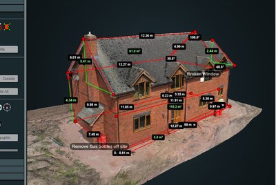
Facades
Facades
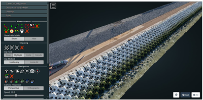
Monitoring new concrete protection blocks (3D Mesh)
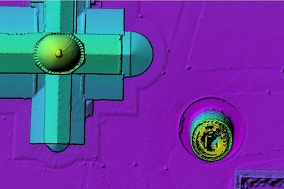
Leaning Tower of Pisa - DSM
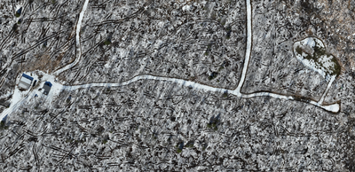
Cabin in the woods
Cabin in the woods
 Want to contribute a screenshot? Post a link on discord or open a PR.
WebODM

Free and Open Source Drone Mapping Software. Generate maps, point clouds, DEMs and 3D models from aerial images.

Quick Access
  • Home
  • Code
  • Swag
  • Download
  • Datasets
  • Gallery
  • Community
  • Documentation
Governance
  • Trademark Guidelines
  • Code of Conduct

Made with ❤ by WebODM contributors